Listeners:
Top listeners:
-
 play_arrow
95.3 The Farm
-
play_arrow
98.7 Lite FM
-
play_arrow
WHOP AM












High temperatures, storm chances return later this week
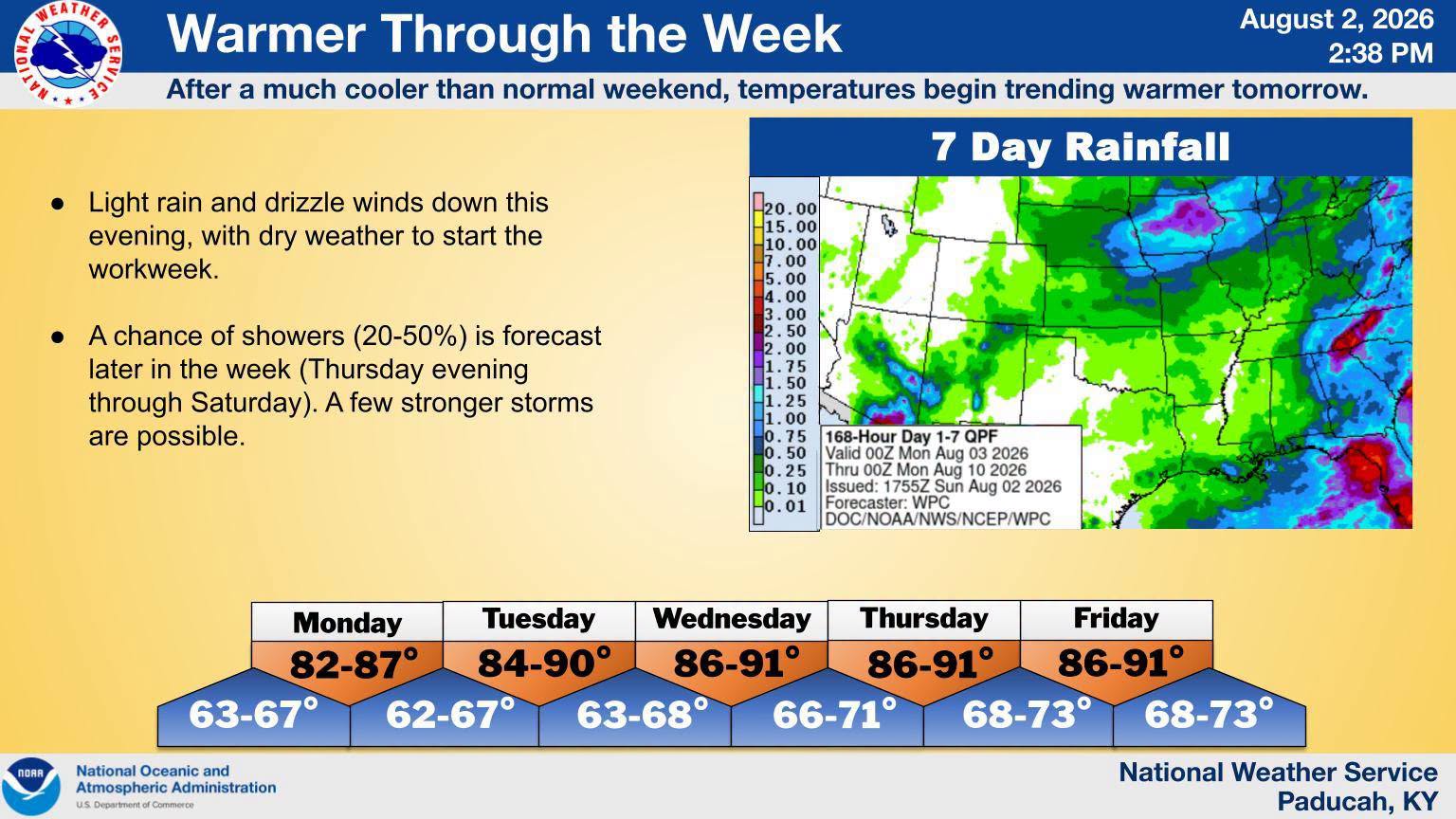

While we managed to get a break from the summer heat over the weekend, don’t get used to it, because the heat and the storms could bully their way back into the area this week.
The weather itself will be calm to start the work week, but around Thursday, Meteorologist Derrick Snyder with the National Weather Service in Paducah says the ingredients for stormy weather and hot temperatures return. The risk of severe weather isn’t a big concern for them at this time, with damaging winds the main risk from any storms that did develop.
Snyder says those storms will usher in hot temperatures and high humidity, which could pop our heat index values right back into the triple digits this weekend.
There are daily rain chances, though no day outside of Thursday is particularly high, but Snyder says any rainstorms that do develop could drop a lot of rain quickly.
In the 8-to-14-day outlook, August looks to settle itself comfortably over the area with below average chances of precipitation, but well-above average chances for hotter than normal temperatures.
Stay tuned to the WHOP Family of Stations for any watches or warnings that may develop with our summer heat pattern.