Listeners:
Top listeners:
-
 play_arrow
95.3 The Farm
-
play_arrow
98.7 Lite FM
-
play_arrow
WHOP AM





 Depth will be key for CCHS Tigers in inaugural football season
 Todd Co. Water District issues boil water advisory for the Pilot Rock Road area
 Victim identified, investigation continues into residential explosion in Central City
 Missing Madisonville woman found safe
 14-year-old injured in Clarksville crash expected to recover


NWS calling for snow in our area Friday


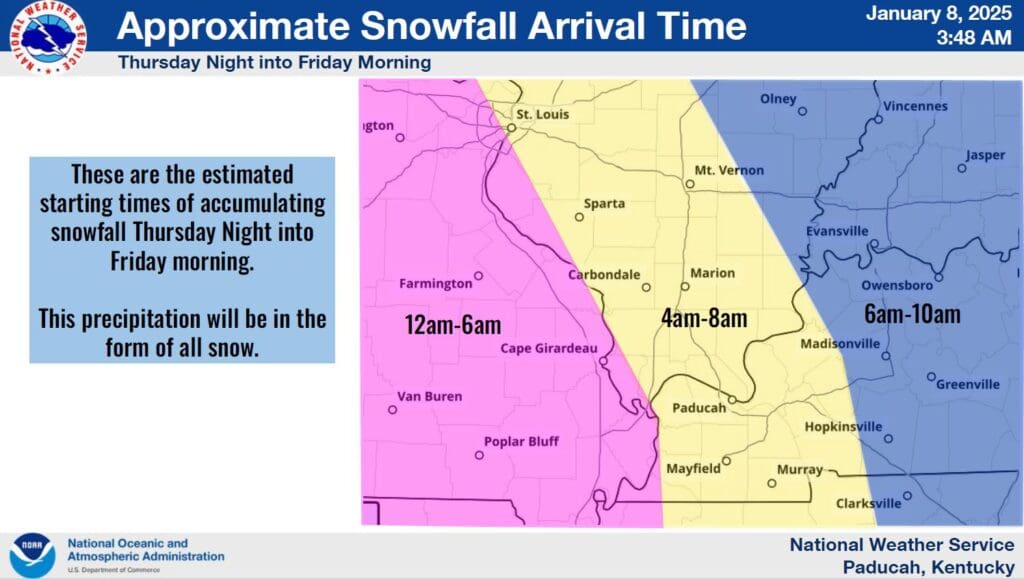
If you love snow, this might just be your time to shine, because the National Weather Service in Paducah is calling for snow in the area on Friday.
And it might be a decent layering of snow too—meteorologist Derrick Snyder says the southern Pennyrile region might see up to five inches of the white stuff accumulate on Friday, though the totals are still subject to change. But he’s fairly confident most of the area will end up with at least a couple of inches.
What will help that accumulation is the fact the snow will likely be heavy and wet, creating big, fluffy snow flakes that are perfect for quickly stacking up.
Snyder does say they’re still watching to see where exactly the winter weather system tracks into the region—if it goes further north, our snow totals could creep up, but if it stays south, then our totals will decrease.
Right now, western Kentucky counties near the Tennessee line such as Christian, Todd and Trigg counties are under a Winter Storm Watch, in effect from late Thursday night through Friday night. Due to the frigid temperatures that have made themselves home recently and show no sign of budging, anything that falls will accumulate quickly on all surfaces, which means travel could become difficult on area roadways.
Stay tuned to the WHOP Family of Stations for more on this developing winter weather system.