A Wind Advisory and Flash Flood Watch have been issued for all or portions of western Kentucky as we begin the weekend.
The Flash Flood Watch is for Trigg, Caldwell, Hopkins and counties to the north and west and is in effect from 6 p.m. Friday night until 3 p.m. Saturday.
The National Weather Service in Paducah says one and a half to two inches of rain will likely fall during that time period in the southern Pennyrile region, while amounts could be two to three inches closer to the Ohio River.
Flooding in the usual low lying and poor drainage areas will be possible in those areas and some minor flooding issues can’t be ruled out outside of the flash flood watch area.
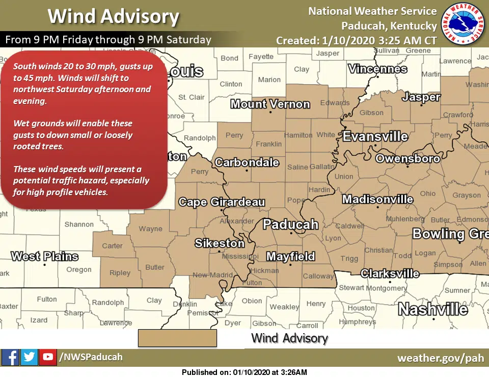
Meanwhile, the Wind Advisory for all of western Kentucky goes from 9 p.m. Friday until 9 p.m. Saturday.
Sustained winds of 20 to 30 mph with gusts of up to 45 mph will make driving difficult for operators of high-profile vehicles and it could down small or loosely rooted trees in very wet ground.
An isolated severe thunderstorm or two can’t be ruled out Saturday, as well.
Stay tuned to the WHOP Family of Stations this weekend for any potential updates or warnings.