

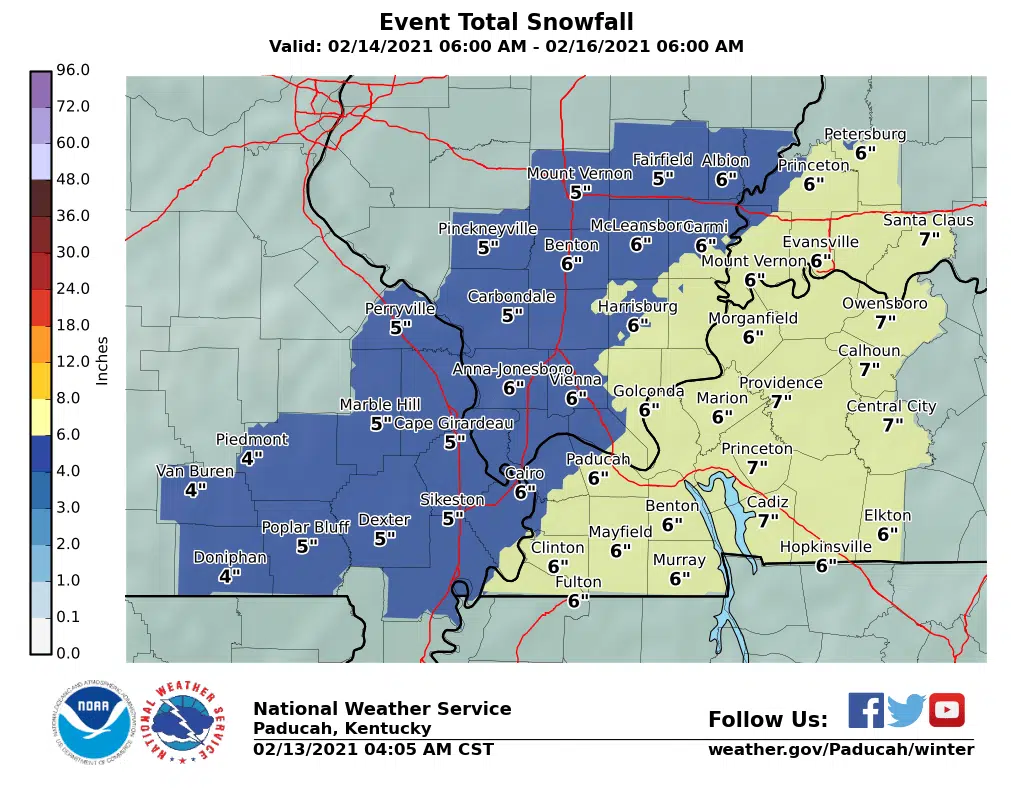
Western Kentucky is now under a winter storm watch from Sunday night through Monday night.
Forecasters say the area could see four inches or more of snow during that time period, which could create major travel issues. Very cold wind chill temperatures are also expected and northeast winds as high as 20 mph could cause drifting.
Stay tuned to the WHOP family of stations and monitor our websites and social media outlets for any updates or warnings.
…WINTER STORM WATCH REMAINS IN EFFECT FROM SUNDAY EVENING
THROUGH LATE MONDAY NIGHT…
* WHAT…Moderate to locally heavy snow possible. Total snow
accumulations of 4 or more inches possible.
* WHERE…Southwest Indiana, southeast Missouri, western
Kentucky, and southern Illinois.
* WHEN…From Sunday night through late Monday night.
* IMPACTS…The concern for hazardous travel conditions continues
to increase. The morning and evening commute could be impacted
on Monday.
* ADDITIONAL DETAILS…Very cold wind chill temperatures are also
forecast. North winds 10 to 15 mph with gusts to 20 mph will
likely cause blowing and drifting of snow.
PRECAUTIONARY/PREPAREDNESS ACTIONS…
Monitor the latest forecasts for updates on this situation.