

After some quick storms Monday morning that dropped rain and lightning over western Kentucky, it’s looking like drier weather for the week before rain returns for the weekend.
Some areas in Marshall and Lyon County got a sudden four inches of rain in about two hours Monday morning, and Meteorologist Justin Gibbs with the National Weather Service in Paducah is calling that a big start to meteorological summer.
It’ll dry out some this week, but he says don’t get used to it, because warm temperatures and increasing humidity will likely bring rain back to the area this weekend.
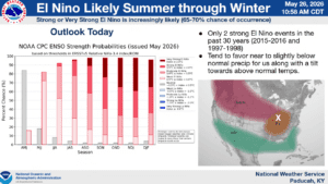
In the 8-to-14 day outlook, it’s looking like we are in store for above average temperatures for mid-June, with maybe above normal chances of precipitation.
Gibbs says we’re entering the time of year where there’s enough moisture and instability just lingering in the atmosphere where afternoon summer storms are always a possibility. With that in mind, stay tuned to the WHOP Family of Stations and the National Weather Service in Paducah for daily updates on the weather.