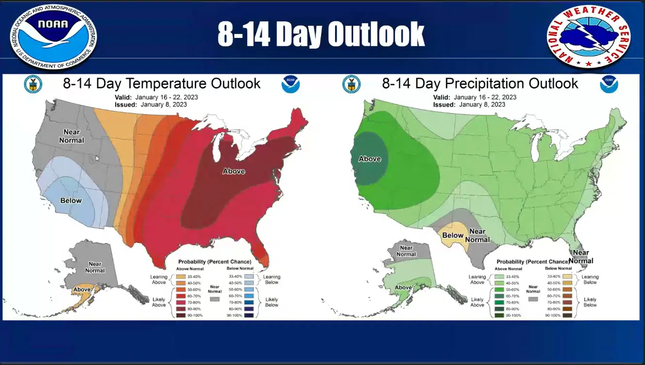
Warmer than average weather will give way to more seasonal temperatures by the end of the week as a cold front brings wind and rain, but warmer weather is likely to return next week.
National Weather Service in Paducah Warning Coordination Meteorologist Christine Wielgos said during this week’s conference call that most of the area will get rain with the cold front moving through late Wednesday night and into Thursday.
Behind that front, high temperatures on Friday will be in the upper 30’s.
The long-range outlook is showing warmer and wetter than average weather next week.
There is some chance Western Kentucky could see a severe storm or two with the cold front Thursday morning, but a major outbreak is not expected at this time.


