The chance for severe weather does exist for western Kentucky Monday evening into Tuesday morning, with people urged to keep a way to receive weather warnings nearby as you go to bed tonight.
That’s according to the National Weather Service in Paducah, which states that our area is likely to receive heavy rain at times, with two-or-three inches of rain fall possible in some areas, and damaging winds possible from any severe storms that develop. A brief, spin-up tornado is not out of the question.
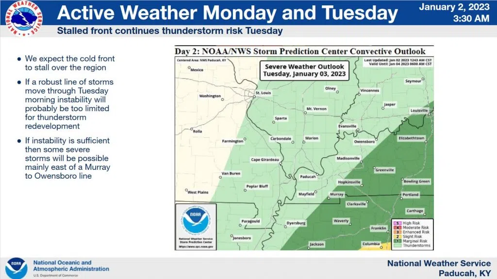
The best chance of severe storms appeared to be during the overnight hours Monday, into early Tuesday morning, with Christian, Todd and most of Trigg counties under a ‘marginal risk’, while portions of western Trigg county and counties to the west are under a ‘slight’ risk for severe weather.
Another risk for severe storms could linger into Tuesday as the cold front slows over the region, with Christian, Todd and Trigg counties staying in a ‘marginal’ risk at this time.
Flooding issues could occur where heavy rain trains over the same areas, particularly in the usual low-lying, poor drainage areas. Stay tuned to the WHOP Family of Stations for any potential watches or warnings.