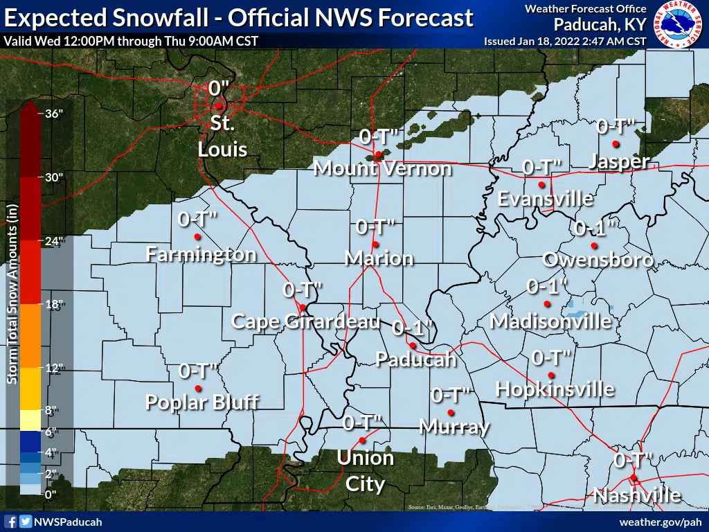
Another small dose of winter weather could impact travel across western Kentucky Wednesday night and Thursday morning.
Meteorologist Mike York with the National Weather Service in Paducah said during a conference call Tuesday morning that while less than an inch of snow is expected across the region, that combined with a glaze of freezing rain could cause travel issues.
A Winter Weather Advisory has already been issued from 4 p.m. Wednesday until 6 a.m Thursday for Hopkins, Muhlenberg and counties to the north.
The precipitation will begin as rain during the day Wednesday before possibly mixing with freezing rain and then changing to snow during the nighttime hours and York says wet roads will likely freeze.
Bitter cold will follow the precipitation, with wind chills to be near zero Thursday morning and in the single-digits Friday morning.
York says long-term forecasts are showing colder than average weather the next three weeks and the first couple weeks of February are looking to be colder and wetter than average—though much could change between now and then.