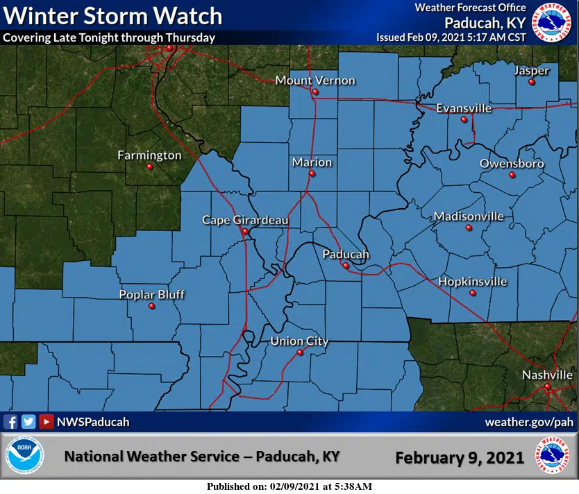
A Winter Storm Watch remains in effect for all of western Kentucky from midnight Wednesday morning through 6 p.m. Thursday for all of western Kentucky and the projected ‘bullseye’ for highest ice accumulation from freezing rain has shifted south into the southern Pennyrile region.
Meteorologist Kevin Smith with the National Weather Service in Paducah says Hopkinsville can expect at least a quarter-inch of ice and amounts may be higher the closer you get to the Tennessee border.
Widespread power outages are not expected, but some issues with downed power lines are not out of the question.
There will almost certainly be travel difficulties created by the ice by Wednesday night and Smith says plan to stay at home during that time frame.
Stay tuned to the WHOP Family of Stations and monitor our websites and social media outlets for any potential warnings.